The Leslie-Karamea
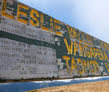
Sign on Tablelands
The final stage of Daughter of Moosey's North West Nelson Loop Trip starts above Balloon Hut, on the Tablelands, goes off down the Leslie and Karamea Rivers, and rejoins the Wangapeka Track. It's the final stage of my 2012 summer couch-hiking trip. High time I got back to the garden...
During the first three stages of the Loop Trip interviews, Daughter had become more and more verbose, giving me more and more details to write down. Thus I wondered how long it would take, in the interviewing sense, to get down the Leslie-Karamea, finish the Wangapeka Track (where it all began), and plod with her out to the road end. I took a deep breath. This couch-hiking is hard work!
Tell me about the Leslie Karamea...
- 'Well, of course, this part of the trip started back in the Cobb Valley at Trilobite Hut. We'd just had lunch there, and then done a bit of a slog in the swirling clouds up to Mount Peel and the Tablelands. I had tired legs. We kept on pottering up and over and down the broad tussock ridge to Balloon Hut. Before you ask, Mum, this is called the Tablelands because it's flat up there. Geologically it's part of a peneplain.'
'The next day we wandered along the Tablelands for an hour or so in the golden morning light, then slipped back into the bush, past the rock shelters, heading down to the Leslie River. We followed the Leslie (really cold for swimming) on a soft track, carpeted by Silver beech leaves. We rocked into Karamea Bend Hut and for the first night had company - a fisherman/hunter guide and client (helicoptered in), and a real Kiwi Possum trapper. The fishermen shared real milk, chocolate biscuits, and fresh coleslaw with us. Possum man just wanted to talk - he'd been in the bush for two weeks, one to go.'
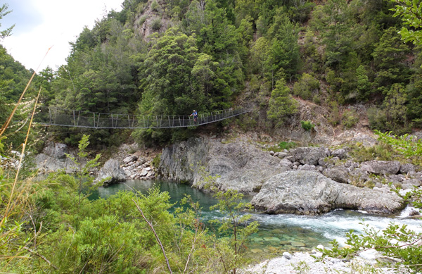
Karamea Suspension Bridge
- 'The next morning we were woken up really early (5:30am) by the possum trapper cooking raisin buns for his breakfast (as they do). We were keen for a big day of walking, so left early. Up the Karamea River we went, with the track meandering next to the river, wandering in and out of the bush. We saw heaps of trout. The river was running low, the major side stream was bridged, so there were no water dramas. We walked past two more huts - Crow Hut (on the junction of the Crow and Karamea Rivers) and Venus Hut (next to Venus Creek).'
'In this area lots of the creeks have 'space' names - Mars Creek, Jupiter Creek, Sputnik Creek, Apollo Creek, Apogee Creek etc. The land survey man applied to have them named thus, because he was inspired by the man-on-the-moon landing. We were heading to Thor Hut, the only old NZ Forest-style hut left on this section of the river. It has strung-up beech branches inside to hang your undies on. Mum, you'd better not write that on your website.'
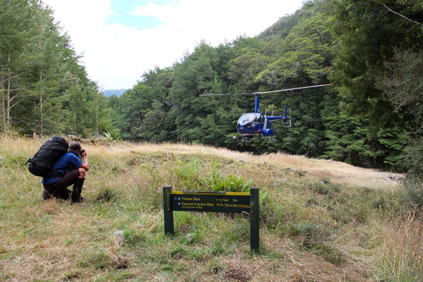
Helicopter at Thor Hut
- 'The next day we had lovely meander up the Karamea River, over lots of old rock slips, which have now been reclaimed by the forest and mosses. We saw lots of drowned trees sticking out of moonstone lakes (formed by one of the big slips). We had a cruisy walk to Trevor Carter Hut for lunch (salami, crackers, and rehydrated hummus - same as every other day). By this stage we were starting to run out of conversation with each other.
Up the hill for 800 metres we went to camp on Biggs Top, gambling on a little blue dot on the map being a tarn. We needed water for the meal and the morning. Oh dear - it was dry. But husband found another little tarn, with water and a few tadpoles. If the water is OK for tadpoles, and it's the only water, then it's OK for people.'
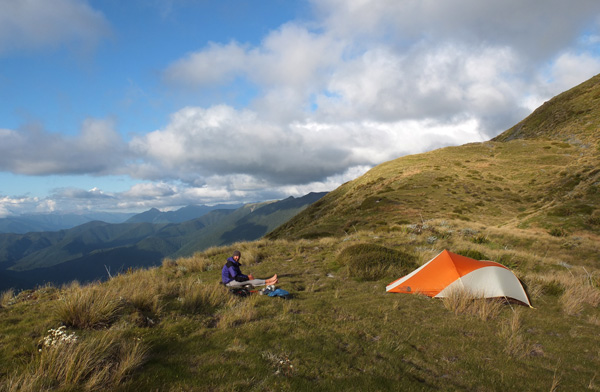
Camping on Biggs Tops
- 'From the campsite (not the flattest) we could see right down the Karamea River (from where we'd just come) and also across to the Taipo River (we were there on Day 3 of the Loop). The next morning we could see the Wanganui Saddle, which we'd crossed in filthy weather on Day 4. After an hour's sidling along the tops, we dropped back into the bush, and headed down to the Wangapeka Saddle. Now the connection was complete.'
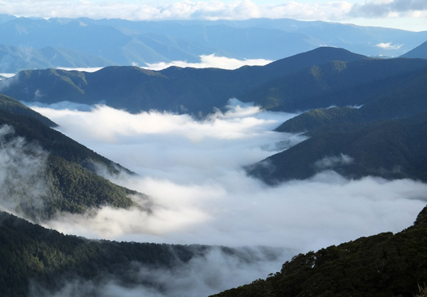
Above the Karamea
- 'We retraced our steps down to Stone Hut, had a celebratory lunch (you guessed it - salami, crackers and rehydrated hummus), and wandered down to Cecil Kings Hut. We stayed here on the first night, and we stayed here on the last night. The next day we walked out'
'And I suppose that's when you rang your Mum?' I asked. I'd been the back-up contact person and I'd taken my role very seriously. 'Um - no.' confessed Daughter. "I had a shower first at the camping ground (the best three dollars I've ever spent), we picked up the car, we went to the cafe and ate lots of yummy food... And then I rang my Mum.'
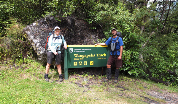
The End of the Loop Trip
I was so excited and relieved to get that phone call. Twenty-two days in the mountains is a long enough time to get into trouble, I reckon! The Leslie-Karamea section of the Loop Trip has its own haiku, written in Daughter's diary amongst her scribbly bullet-point notes.
- Leslie-Karamea Haiku
- Toi Toi on true right
Luna in the morning light
Blue pool, trout may bite.
Thus ended the fourth and final stage of Daughter's Loop Trip, starting and finishing at the road end of the Wangapeka Track, by Tapawera. It took twenty-two days, with two intermediate stops to pick up food. The tramping party consisted of just two - Daughter and Husband (who appears in many of the photographs, and whose route-finding skills are to be applauded). They tramped approximately 290 kilometres beside rivers, along ridges, across screes, over tussock downs, up spurs, around lakes... Their gear and supplies were carefully weighed and listed, and they took dehydrated meals. I had a spread-sheet outlining where they expected to be, and when, and my own map. And I listened each day to the weather forecast. So I did really do the trip with them...