Dry Acheron Stream Track
The Dry Acheron track is a newly developed hiking route through two high country stations (farms) in the upper Rakaia. It wanders gently up river flats alongside the Dry Acheron Stream, which in winter, at least, is certainly not dry. Wet boots! Soggy socks!

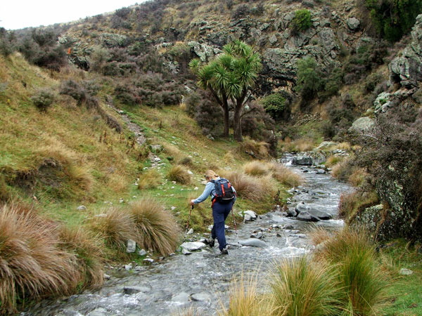
Across the Dry Acheron Stream
I love walking in the high country - the land is pastorally rough and tough, but has a gentle grandeur. Being snug in a stream valley allows the heady contrast of distant (and not so distant) mountain ranges (they look so huge) with the smallest of canyons and gorges cut by the little river.

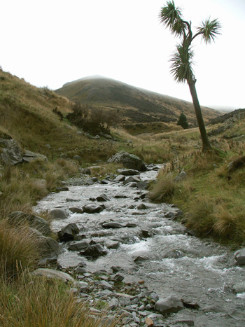
Lone Cabbage Tree
Sloshing Through Streams
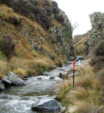
I just love sloshing through streams, and the Dry Acheron stream has to be crossed and recrossed, crossed and recrossed... The gradient is gentle, and it's quite easy to spot the next orange track marker - my friend and I are oddly comforted by this.
We pass the tiniest patches of native bush and a few scarecrow Cabbage trees, posing dramatically above the grass and rocks. Herds of cattle graze the flats, which are dotted with Matagouri and Coprosma shrubs, plus escapee colonisers like Verbascums and Briar roses. However the ground underfoot is uneven and rocky, so dreamily gazing around as the mountains close in is risky.
The small-scale streamscape of the Dry Acheron valley is magical, with mini-waterfalls, small stone damns, and water channels bustling fiercely this way and that. I could be a tiny traveller, negotiating enormous rapids, floating past huge rocks to the safety of a gravel beach.
But the water is only mid-calf, and I don't mind getting my boots wet. Friendly moaning and burbling (of the stream, not my hiking companion) are comforting noises in the solitude.

Track Marker
Up Big Ben
After two hours of wet feet and warm spirits a side trip provides a more challenging gradient - there's a route up the ridgeline to a summit called Big Ben. I'd love to go up there, but I'm mindful of the map legend. The tiny dots indicate that high-level backcountry skills and experience are needed.
We Need a Man and a GPS...
Aha! My friend and I decide we need a man (just one will do), a GPS, and a much longer day. So next time we'll take Non-Gardening Partner, maybe in summer, and see how far we can get. Big Ben stands at 1416 meters - considerably taller that his more famous British clock-cousin!
Underneath Big Ben the valley gets rockier, the rocks get bigger, and our track ends rather abruptly at a narrow, mysterious bush-clad gorge. Not so mysterious is the 'No Trespassing' notice. But I know this is private land, and so there's nothing to do but turn around. And, oddly, the going down is more noticeably 'down' than the going up is 'up', if you know what I mean.

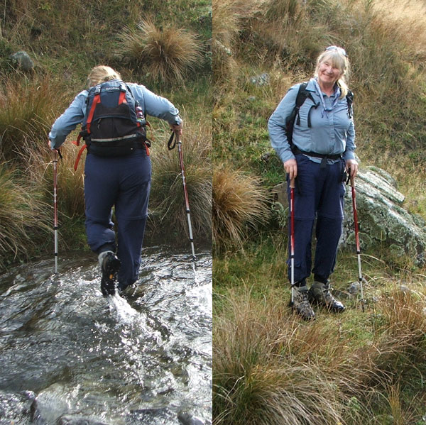
Hiking Gardener - Back View, Front View
The Dry Acheron Track is the first walkway established by the New Zealand Walking Access Commission under the Walking Access Act 2008. The track passes through the privately owned Dry Acheron and Big Ben Stations. The cynic in me wonders if this Act is a public sweetener, so non-New Zealanders can buy high country farms, and thus huge tracts of New Zealand's land, without too much local opposition. But we won't go there...
Final Footnote, Hee Hee...
Descriptions of the Dry Acheron Track are fairly sparse and dry (ahem). In early winter it's definitely a wet-boots and soggy-socks track. But there must be a reason for the stream's name. So in high summer - who knows?